Rossby wave in jet stream triggers flooding rain, scientist says
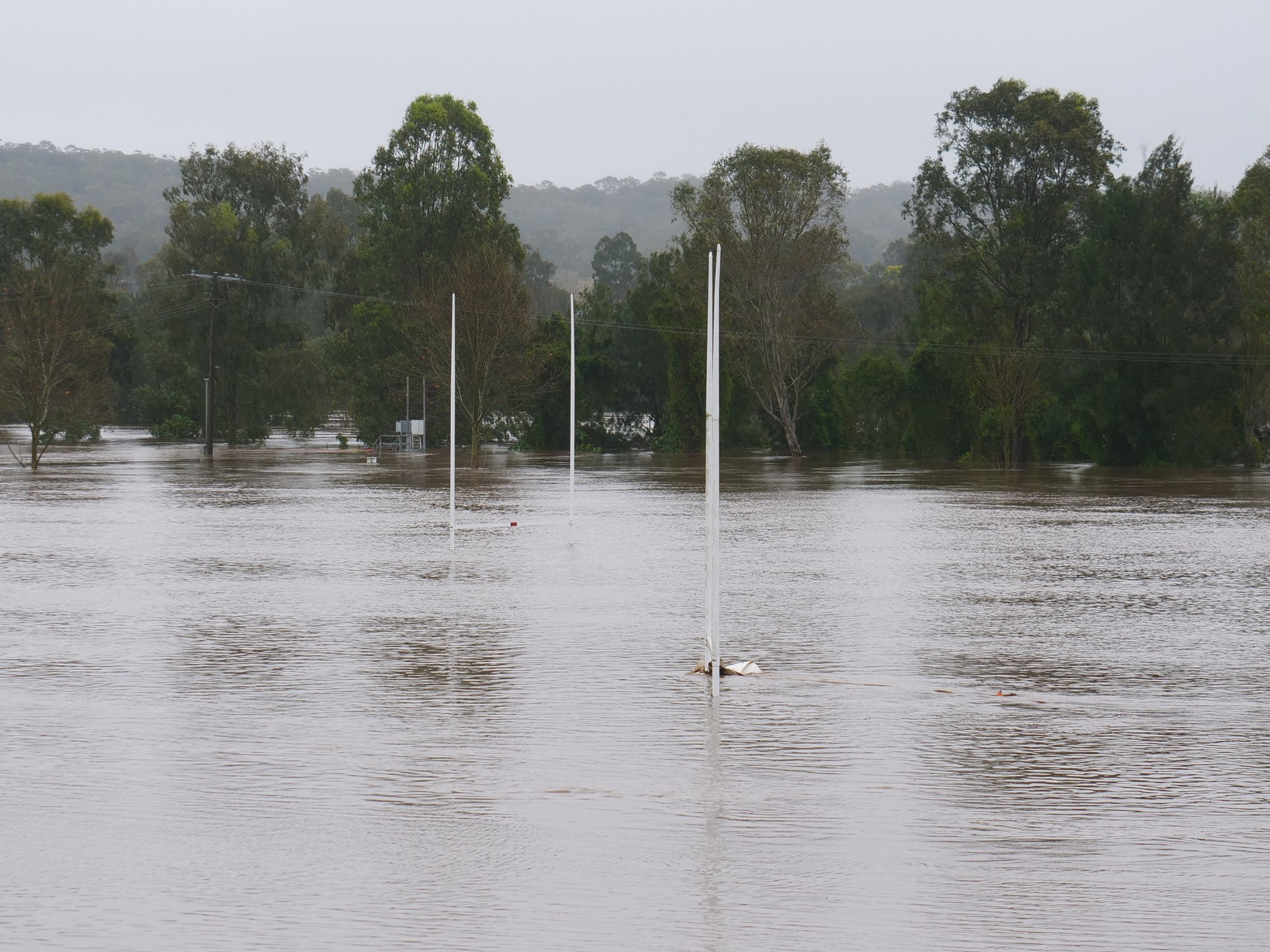
Flooding rains in New South Wales this week were triggered by a "wave" in the atmospheric jet stream, according to a scientist who says a La Niña weather pattern is also a factor.

www.abc.net.au
Key points:
- La Niña increased the chance of extreme rainfall in eastern Australia
- Weather systems driven by Rossby waves triggered the recent extreme rainfall
- The chance of heavy rain in eastern Australia is at least double in the next three months
- University of New South Wales ARC Centre of Excellence for Climate Extremes research fellow Zoe Gillett said back-to-back La Niñas had led to warm seas around northern and eastern Australia and it had primed the continent for rain.
"There is still a La Niña-like signal over the tropical Pacific," Dr Gillett said.
In the same way dry vegetation primed a landscape for bushfires, warm seas ranging from 21 degrees to 23 degrees primed Australia for this week's huge rainfalls.
"Very warm waters off the Australian coast provided extra energy and moisture contributing to the deep trough and east coast low, leading to the relative concentration of the heavy rainfall to one 24-hour period," a statement from the weather bureau reads.
Warm seas have fuelled recent extreme rainfall in Australia.(Supplied)
The building blocks of weather
Monash University ARC Centre of Excellence for Climate Extremes atmospheric physicist Tess Parker said people had to know where Australia's weather came from to truly understand why it rained so much.
"You may have heard of the jet stream, which is that band of really strong westerly winds in the upper atmosphere," Dr Parker said.
"If you've ever been on a flight across the Atlantic [Ocean] or the Pacific, you know that if you have the jet stream behind you, your flight will be a bit shorter, because you've got this really strong band of winds you're flying in."
Wiggles in the jet stream are what climate scientists call Rossby waves.(Supplied: NASA)
Jet streams encircle the world in both hemispheres but disturbances can cause waves to form in the stream, just like waves on a plucked guitar string, or waves in the ocean.
Climate scientists call these jet stream waves planetary waves, or Rossby waves, and outside of the tropics, they cause much of what we call weather.
"Rossby waves really are the building blocks of weather, these high — and low-pressure systems that we see coming and going," Dr Parker said.
"And when we have extreme rainfall, like we're having at the minute, what's generally happening is one of these Rossby waves [is] getting really big.
"And it may break just like a wave does at the beach."
A very large Rossby wave triggered unseasonable dry season rain in the Northern Territory and torrential rainfall in NSW last week.
A Rossby wave crosses Australia last week.(Supplied: Weatherzone)
"Rossby waves really set up the atmosphere to give us this heavy rainfall," Dr Parker said.
"A low in the upper atmosphere, called a cut-off low, together with a blocking high-pressure system over the Tasman Sea, are formed as a result of these waves."
She said the rain still may have happened without the cut-off low and high-pressure system but it wouldn't have been as persistent or intense.
She said
the Lismore floods were also driven by a wave-breaking event taking place in the atmosphere, and across a landscape primed for flooding rain by La Niña.
Rossby waves are truly planetary
But because Rossby waves encircle the world, impacts are also felt far from Australia.
"The same fingerprint was also seen during recent floods in South Africa and Brazil," Dr Parker said.
Brazil was hit with heavy rain and landslides in February and March, killing more than 200 people.
Prolonged rains caused severe flooding in South Africa's KwaZulu-Natal province.(Supplied: AP)
Torrential downpours in South Africa destroyed homes and infrastructure in April and May, resulting in some 400 deaths and US$1.5 billion in property damage.
"La Niña is also associated with rainier-than-normal conditions over north-eastern Australia, south-eastern Africa and northern Brazil," Dr Parker said.
Jet stream in the headlines
She said discussions about the jet stream were a regular feature of weather reports in the United States and Europe.
"Overseas, the general public's knowledge of the weather is that when the jet stream starts to do these wiggly things, stuff happens to the weather," Dr Parker said.
"The jet stream often features in national weather forecasts."
She said it meant the weather was going to be hot or cold, or dry or wet.
"I think this is something that needs to get into the conversation with the Australian public," she said.
"In Australia, Rossby waves are associated with heat waves, cold air outbreaks, heavy rainfall and drought."
Discussion of the jet stream is a routine part of weather forecasting in the US.(Supplied: The Weather Channel)
Is La Niña coming back?
Dr Gillet said the effects of two La Niña years in a row were lingering in eastern Australia.
On top of this, she said the main climate driver in the Indian ocean, the Indian Ocean Dipole, had been predicted to soon move into a rain-promoting state.
Eastern and northern Australia has a raised chance of above-median rain over the next three months.(Supplied: Bureau of Meteorology)
The Bureau of Meteorology said the risk of heavy rain in eastern Australia had at least doubled over the next three months, even without La Niña.
Major climate models are evenly split as to whether or not La Niña returns this spring.(Supplied: Bureau of Meteorology)
Dr Parker said Australia remained vulnerable to extreme weather embedded in Rossby waves that would continue to form regardless or whether La Niña returned or disappeared.
"La Niña makes it more likely that this is going to happen because, by definition, it means there's more moisture around," she said.
"But it's not necessary for there to be La Niña for extreme rainfall to occur."


